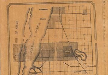
File:Largo, Florida Map Mar 6,1925.jpg
Appearance
Largo,_Florida_Map_Mar_6,1925.jpg (357 × 250 pixels, file size: 17 KB, MIME type: image/jpeg)
File history
Click on a date/time to view the file as it appeared at that time.
| Date/Time | Thumbnail | Dimensions | User | Comment | |
|---|---|---|---|---|---|
| current | 02:54, 25 August 2006 |  | 357 × 250 (17 KB) | Deepfriedokra | Map showing the old and new corporate bounds of the City of Largo, Florida. From ''The Largo Sentinel'' issue of March 6, 1925. Shows the new city boundaries around old town boundaries in effect from 1925 to 1933. {{Historic Event}} {{fairusein|Timeline o |
File usage
The following page uses this file:
Global file usage
The following other wikis use this file:
- Usage on ja.wikipedia.org

