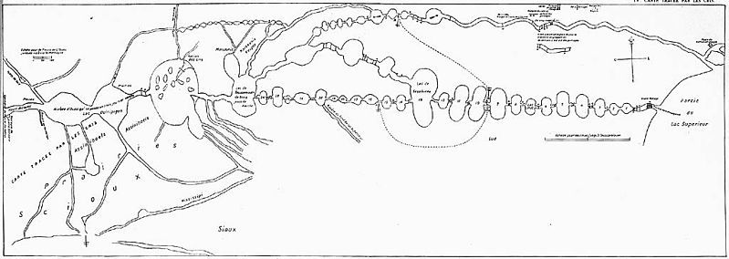
File:La Vérendrye Map.jpg
Appearance

Size of this preview: 799 × 284 pixels. Other resolutions: 320 × 114 pixels | 1,024 × 364 pixels.
Original file (1,024 × 364 pixels, file size: 70 KB, MIME type: image/jpeg)
File history
Click on a date/time to view the file as it appeared at that time.
| Date/Time | Thumbnail | Dimensions | User | Comment | |
|---|---|---|---|---|---|
| current | 06:27, 22 June 2010 | 1,024 × 364 (70 KB) | Urdangaray | {{Information |Description={{en|Map of en:Boundary Waters region, including en:Lake Superior, en:Kaministiquia River, en:Rainy Lake, en:Lake of the Woods, and en:Lake Winnipeg, drawn by Native guide Auchagah for [[:en:P |
File usage
The following page uses this file:
Global file usage
The following other wikis use this file:
- Usage on de.wikipedia.org
- Usage on es.wikipedia.org
- Usage on fr.wikipedia.org
- Usage on it.wikipedia.org
- Usage on ms.wikipedia.org
- Usage on no.wikipedia.org
