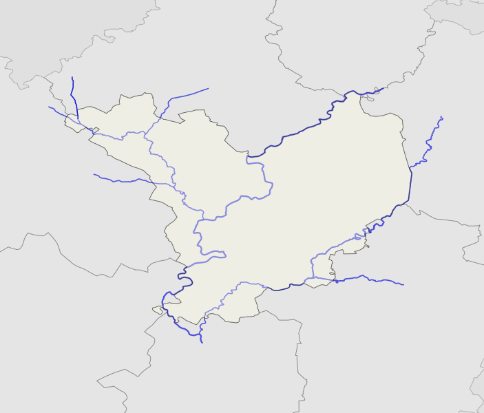
File:Jasz-Nagykun-Szolnok location map.svg
Appearance

Size of this PNG preview of this SVG file: 703 × 599 pixels. Other resolutions: 282 × 240 pixels | 563 × 480 pixels | 901 × 768 pixels | 1,201 × 1,024 pixels | 2,402 × 2,048 pixels | 719 × 613 pixels.
Original file (SVG file, nominally 719 × 613 pixels, file size: 237 KB)
File history
Click on a date/time to view the file as it appeared at that time.
| Date/Time | Thumbnail | Dimensions | User | Comment | |
|---|---|---|---|---|---|
| current | 20:45, 2 February 2017 |  | 719 × 613 (237 KB) | Texaner | crrection2 |
| 18:03, 1 February 2017 |  | 776 × 627 (174 KB) | Texaner | Correction | |
| 17:29, 1 February 2017 |  | 776 × 627 (171 KB) | Texaner | User created page with UploadWizard |
File usage
The following 4 pages use this file:
Global file usage
The following other wikis use this file:
- Usage on eo.wikipedia.org
- Usage on fr.wikipedia.org
- Usage on hu.wikipedia.org
- Jász-Nagykun-Szolnok vármegye
- Szolnok
- Abádszalók
- Karcag
- Mezőtúr
- Berekfürdő
- Fegyvernek
- Kunmadaras
- Jászberény
- Cibakháza
- Mezőhék
- Kunszentmárton
- Kunhegyes
- Besenyszög
- Jánoshida
- Jászágó
- Jászalsószentgyörgy
- Jászapáti
- Jászárokszállás
- Jászdózsa
- Jászboldogháza
- Jászszentandrás
- Jászladány
- Jászkisér
- Jászjákóhalma
- Jászfényszaru
- Jászfelsőszentgyörgy
- Jászivány
- Jásztelek
- Nagyiván
- Nagykörű
- Nagyrév
- Öcsöd
- Örményes (Magyarország)
- Kenderes
- Kisújszállás
- Pusztamonostor
- Csataszög
- Cserkeszőlő
- Csépa
- Szelevény
- Tiszaföldvár
- Tiszainoka
- Tiszakürt
- Tiszasas
- Kétpó
- Mesterszállás
View more global usage of this file.
