File:JaffaJerusalem1799.jpg
Appearance
JaffaJerusalem1799.jpg (765 × 340 pixels, file size: 152 KB, MIME type: image/jpeg)
File history
Click on a date/time to view the file as it appeared at that time.
| Date/Time | Thumbnail | Dimensions | User | Comment | |
|---|---|---|---|---|---|
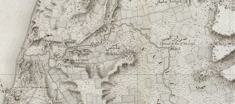
| current | 20:47, 11 May 2010 |  | 765 × 340 (152 KB) | TheRealHuldra | {{Information |Description={{en|1=Portion of map of Pierre Jacotin of northern Palestine, prepared during French military expedition of 1799 and published in 1826. Full name: Carte topographique de l'Egypte et de plusieurs parties des pays limitrophes ... |
File usage
The following page uses this file:
Global file usage
The following other wikis use this file:
- Usage on ar.wikipedia.org
- Usage on ca.wikipedia.org
- Usage on ro.wikipedia.org

