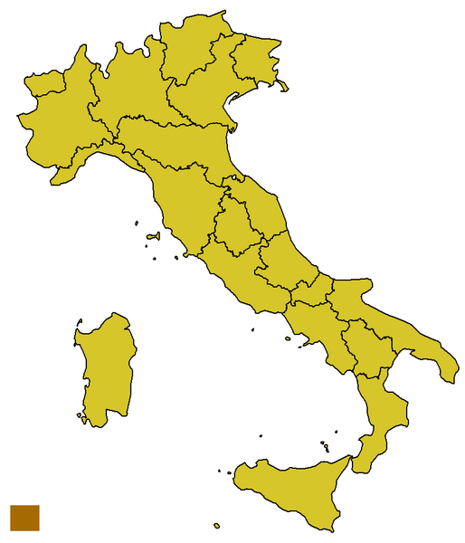
File:Italy template.svg
Appearance

Size of this preview: 514 × 600 pixels. Other resolutions: 206 × 240 pixels | 411 × 480 pixels | 814 × 950 pixels.
Original file (814 × 950 pixels, file size: 21 KB, MIME type: image/png)
File history
Click on a date/time to view the file as it appeared at that time.
| Date/Time | Thumbnail | Dimensions | User | Comment | |
|---|---|---|---|---|---|
| current | 18:22, 5 November 2021 |  | 814 × 950 (21 KB) | Leonel Sohns | Reverted to version as of 08:21, 26 May 2005 (UTC) New file is erroneous. |
| 16:42, 8 October 2009 |  | 1,200 × 1,500 (616 KB) | Gigillo83 | Aggiornamento confini | |
| 08:21, 26 May 2005 |  | 814 × 950 (21 KB) | Adam~commonswiki | {{GFDL}} w:Image:Italy template.png Category:Maps of Italy |
File usage
No pages on the English Wikipedia use this file (pages on other projects are not listed).
Global file usage
The following other wikis use this file:
- Usage on de.wikipedia.org
- Erzbistum Campobasso-Boiano
- Erzbistum Agrigent
- Erzbistum Pescara-Penne
- Erzbistum Ancona-Osimo
- Erzbistum Oristano
- Erzbistum Pesaro
- Erzbistum Bari-Bitonto
- Erzbistum Perugia-Città della Pieve
- Erzbistum Benevent
- Erzbistum Bologna
- Erzbistum Cagliari
- Erzbistum Catania
- Patriarch
- Bistum Rom
- Erzbistum Genua
- Vorlage:Navigationsleiste Metropolitanbistümer in Italien
- Erzbistum Trient
- Erzbistum Vercelli
- Erzbistum Neapel
- Wikipedia:Redaktion Religion/Navigationsleisten
- Patriarchat von Venedig
- Erzbistum Mailand
- Kirchenregion Sizilien
- Kirchenprovinz Agrigent
- Kirchenprovinz Catania
- Kirchenprovinz Messina-Lipari-Santa Lucia del Mela
- Kirchenprovinz Palermo
- Kirchenprovinz Syrakus
- Erzbistum Palermo
- Erzbistum Syrakus
- Erzbistum Messina-Lipari-Santa Lucia del Mela
- Kirchenprovinz Cagliari
- Kirchenprovinz Sassari
- Kirchenprovinz Oristano
- Vorlage:Navigationsleiste Kirchenprovinzen in Italien
- Vorlage:Navigationsleiste Kirchenregionen in Italien
- Kirchenregion Latium
- Kirchenprovinz Rom
- Kirchenregion Sardinien
- Kirchenregion Kalabrien
- Kirchenregion Basilikata
- Erzbistum Sassari
- Kirchenregion Apulien
- Kirchenregion Triveneto
- Kirchenregion Abruzzen-Molise
- Kirchenregion Piemont
- Kirchenregion Toskana
- Kirchenregion Emilia-Romagna
- Kirchenregion Kampanien
- Erzbistum Florenz
View more global usage of this file.

