File:Isle-of-hope-1780-map-ga1.jpg
Appearance
Isle-of-hope-1780-map-ga1.jpg (436 × 296 pixels, file size: 70 KB, MIME type: image/jpeg)
File history
Click on a date/time to view the file as it appeared at that time.
| Date/Time | Thumbnail | Dimensions | User | Comment | |
|---|---|---|---|---|---|
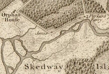
| current | 16:08, 15 September 2008 |  | 436 × 296 (70 KB) | BrineStans | {{Information |Description={{en|1=Detail of the Skidaway Narrows from Archibald Campbell's 1780 "Sketch of the northern frontiers of Georgia, extending from the mouth of the River Savannah to the town of Augusta". The map was engraved by William Faden. |
File usage
The following page uses this file:

