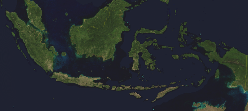
File:Indonesia BMNG.png
Appearance

Size of this preview: 800 × 358 pixels. Other resolutions: 320 × 143 pixels | 640 × 287 pixels | 1,024 × 459 pixels | 1,280 × 573 pixels | 3,803 × 1,703 pixels.
Original file (3,803 × 1,703 pixels, file size: 5.3 MB, MIME type: image/png)
File history
Click on a date/time to view the file as it appeared at that time.
| Date/Time | Thumbnail | Dimensions | User | Comment | |
|---|---|---|---|---|---|
| current | 13:14, 16 August 2013 |  | 3,803 × 1,703 (5.3 MB) | Ciaurlec | Enanched contrast and brightness |
| 15:39, 23 April 2006 |  | 3,803 × 1,703 (5 MB) | Hautala | {{PD-WorldWind}} Satellite image of Indonesia in August 2004. Border to East Timor is missing. Screenshot from NASA World Wind, Blue Marble Next-Generation layer. Category:Satellite pictures of Indonesia |
File usage
The following page uses this file:
Global file usage
The following other wikis use this file:
- Usage on af.wikipedia.org
- Usage on de.wiktionary.org
- Usage on map-bms.wikipedia.org
- Usage on pl.wikipedia.org
- Usage on pt.wikipedia.org

