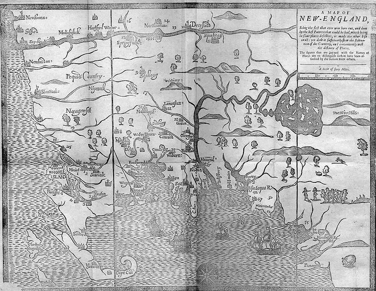
File:Hubbard map 1677.JPG
Appearance

Size of this preview: 777 × 600 pixels. Other resolutions: 311 × 240 pixels | 622 × 480 pixels | 995 × 768 pixels | 1,280 × 988 pixels | 1,518 × 1,172 pixels.
Original file (1,518 × 1,172 pixels, file size: 535 KB, MIME type: image/jpeg)
File history
Click on a date/time to view the file as it appeared at that time.
| Date/Time | Thumbnail | Dimensions | User | Comment | |
|---|---|---|---|---|---|
| current | 22:45, 4 May 2007 |  | 1,518 × 1,172 (535 KB) | Jeeny~commonswiki | cleaned up left side of image (cropped out scanner surface) |
| 03:00, 6 April 2007 |  | 1,587 × 1,194 (410 KB) | Jayron32 | {{Information |Description=1677 Map of New England by William Hubbard |Source=http://etext.virginia.edu/users/deetz/Plymouth/maps.html |Date=1677 |Author=William Hubbard |Permission=Copyright expired (>70 years after author's death) |other_versions= }} |
File usage
The following page uses this file:
Global file usage
The following other wikis use this file:
- Usage on da.wikipedia.org
- Usage on ja.wikipedia.org
