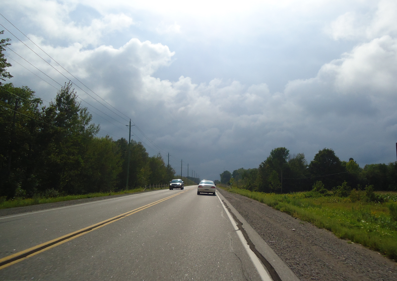
File:Highway 47.png
Appearance

Size of this preview: 800 × 567 pixels. Other resolutions: 320 × 227 pixels | 640 × 454 pixels | 1,024 × 726 pixels | 1,280 × 907 pixels | 2,560 × 1,815 pixels | 3,498 × 2,480 pixels.
Original file (3,498 × 2,480 pixels, file size: 9.19 MB, MIME type: image/png)
File history
Click on a date/time to view the file as it appeared at that time.
| Date/Time | Thumbnail | Dimensions | User | Comment | |
|---|---|---|---|---|---|
| current | 00:25, 23 August 2010 |  | 3,498 × 2,480 (9.19 MB) | Floydian | {{Information |Description=former Highway 47 (now Durham Regional Highway 47) east of Highways 7/12 in Scugog, Ontario. |Source={{own}} |Date=August 22, 2010 |Author=~~~ |Permission= |other_versions= }} Category:Roads in Ontario |
File usage
The following page uses this file:
