File:Hawikuh map.png
Appearance

Size of this preview: 389 × 599 pixels. Other resolutions: 156 × 240 pixels | 584 × 899 pixels.
Original file (584 × 899 pixels, file size: 74 KB, MIME type: image/png)
File history
Click on a date/time to view the file as it appeared at that time.
| Date/Time | Thumbnail | Dimensions | User | Comment | |
|---|---|---|---|---|---|
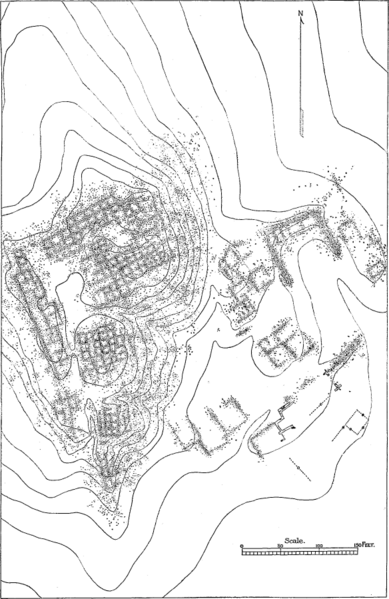
| current | 04:42, 15 April 2009 |  | 584 × 899 (74 KB) | Tillman | {{Information |Description={{en|1=Map (plan) of the ruins of Hawikuh, from A Study of Pueblo Architecture: Tusayan and Cibola Eighth Annual Report of the Bureau of Ethnology to the Secretary of the Smithsonian Institution, 1886-1887 }} |Source=http://www. |
File usage
The following 2 pages use this file:

