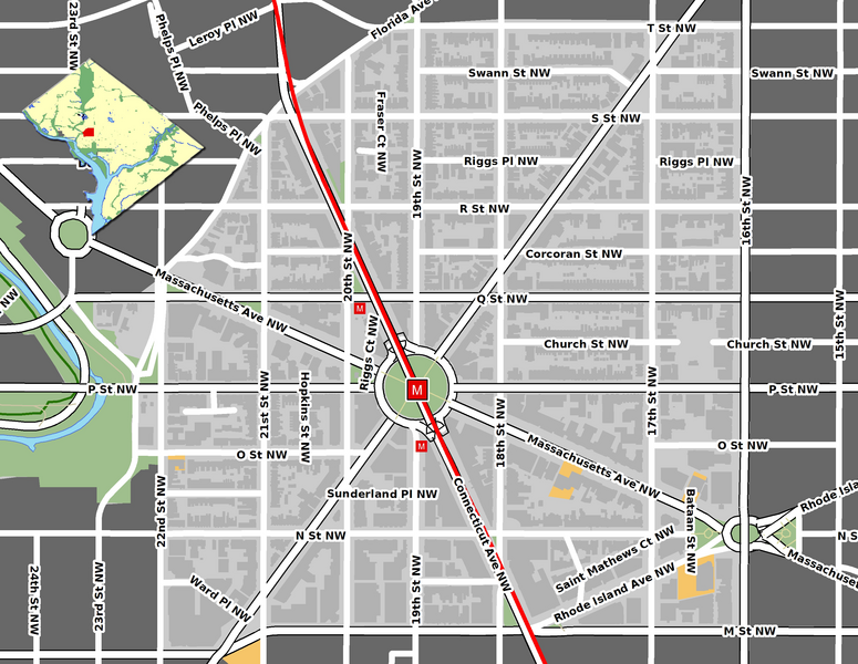
File:Dupontmap.png
Appearance

Size of this preview: 775 × 600 pixels. Other resolutions: 310 × 240 pixels | 620 × 480 pixels | 993 × 768 pixels | 1,280 × 991 pixels | 2,560 × 1,981 pixels | 2,950 × 2,283 pixels.
Original file (2,950 × 2,283 pixels, file size: 2.63 MB, MIME type: image/png)
File history
Click on a date/time to view the file as it appeared at that time.
| Date/Time | Thumbnail | Dimensions | User | Comment | |
|---|---|---|---|---|---|
| current | 19:15, 30 January 2009 |  | 2,950 × 2,283 (2.63 MB) | Aude | {{Information |Description={{en|1=Map of the Dupont Circle neighborhood in Washington, D.C. GIS data comes from [http://www.openstreetmap.org/ Open Street Map] and [http://dcatlas.dcgis.dc.gov/catalog/ DC GIS] (okay to use here [http://lists.openstreetma |
File usage
No pages on the English Wikipedia use this file (pages on other projects are not listed).
Global file usage
The following other wikis use this file:
- Usage on ca.wikipedia.org
- Usage on de.wikipedia.org
- Usage on es.wikipedia.org
- Usage on pt.wikipedia.org
