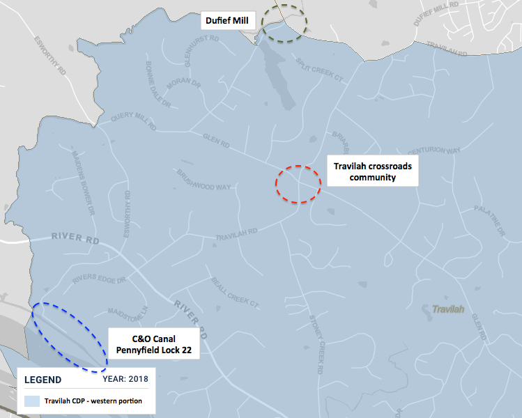
File:DuFief Mill-Travilah-C&O.png
Appearance
DuFief_Mill-Travilah-C&O.png (749 × 600 pixels, file size: 153 KB, MIME type: image/png)
File history
Click on a date/time to view the file as it appeared at that time.
| Date/Time | Thumbnail | Dimensions | User | Comment | |
|---|---|---|---|---|---|
| current | 15:54, 1 April 2020 |  | 749 × 600 (153 KB) | TwoScarsUp | Uploaded a work by U.S. Census Bureau and TwoScarsUp from This map came from the [https://data.census.gov/cedsci/map?q=Travilah%20CDP,%20Maryland&g=1600000US2478650&tid=ACSDP5Y2018.DP05&layer=VT_2018_160_00_PY_D1&vintage=2018&cid=DP05_0001E U.S. Census Bureau] and has been modified by TwoScarsUp. with UploadWizard |
File usage
The following page uses this file:


