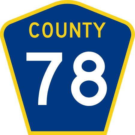
File:County 78 (MN).svg
Appearance

Size of this PNG preview of this SVG file: 450 × 450 pixels. Other resolutions: 240 × 240 pixels | 480 × 480 pixels | 768 × 768 pixels | 1,024 × 1,024 pixels | 2,048 × 2,048 pixels.
Original file (SVG file, nominally 450 × 450 pixels, file size: 12 KB)
File history
Click on a date/time to view the file as it appeared at that time.
| Date/Time | Thumbnail | Dimensions | User | Comment | |
|---|---|---|---|---|---|
| current | 03:44, 7 July 2015 |  | 450 × 450 (12 KB) | Dough4872 | Update to Minnesota Standard Signs Manual specs |
| 00:28, 7 July 2011 |  | 450 × 450 (12 KB) | Fredddie | ||
| 02:54, 25 October 2010 |  | 600 × 600 (11 KB) | Fredddie |
File usage
The following 15 pages use this file:
- List of county roads in Cook County, Minnesota
- List of county roads in Dakota County, Minnesota
- List of county roads in Ramsey County, Minnesota
- List of county roads in Scott County, Minnesota
- List of crossings of the Upper Mississippi River
- List of highways numbered 78
- Minnesota State Highway 242
- Minnesota State Highway 41
- Minnesota State Highway 47
- Minnesota State Highway 51
- U.S. Route 10 in Minnesota
- U.S. Route 169 in Minnesota
- User:Vcap36/sandbox
- User:Vcap36/sandbox4
- Wikipedia:WikiProject U.S. Roads/Redirects/Minnesota/County list

