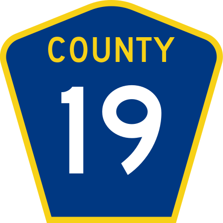
File:County 19 (MN).svg
Appearance

Size of this PNG preview of this SVG file: 450 × 450 pixels. Other resolutions: 240 × 240 pixels | 480 × 480 pixels | 768 × 768 pixels | 1,024 × 1,024 pixels | 2,048 × 2,048 pixels.
Original file (SVG file, nominally 450 × 450 pixels, file size: 11 KB)
File history
Click on a date/time to view the file as it appeared at that time.
| Date/Time | Thumbnail | Dimensions | User | Comment | |
|---|---|---|---|---|---|
| current | 03:08, 7 July 2015 |  | 450 × 450 (11 KB) | Dough4872 | Update to Minnesota Standard Signs Manual specs |
| 00:22, 7 July 2011 |  | 450 × 450 (9 KB) | Fredddie | ||
| 00:24, 9 July 2010 |  | 600 × 600 (11 KB) | Fredddie |
File usage
The following 27 pages use this file:
- Interstate 35W (Minnesota)
- Interstate 35 in Minnesota
- Interstate 94 in Minnesota
- Leota, Minnesota
- Leota Township, Nobles County, Minnesota
- Lismore Township, Nobles County, Minnesota
- List of county roads in Beltrami County, Minnesota
- List of county roads in Chisago County, Minnesota
- List of county roads in Goodhue County, Minnesota
- List of county roads in Hennepin County, Minnesota
- List of county roads in McLeod County, Minnesota
- List of county roads in Nicollet County, Minnesota
- List of county roads in Pennington County, Minnesota
- List of county roads in Ramsey County, Minnesota
- List of county roads in Renville County, Minnesota
- List of county roads in Roseau County, Minnesota
- List of county roads in Washington County, Minnesota
- List of county roads in Wright County, Minnesota
- List of county roads in Yellow Medicine County, Minnesota
- List of crossings of the Minnesota River
- Minnesota State Highway 104
- Minnesota State Highway 241
- Minnesota State Highway 271
- U.S. Route 10 in Minnesota
- U.S. Route 61 in Minnesota
- Westside Township, Nobles County, Minnesota
- Wikipedia:WikiProject U.S. Roads/Redirects/Minnesota/County list
Global file usage
The following other wikis use this file:
- Usage on fr.wikipedia.org
- Usage on nl.wikipedia.org

