Jump to content

File:Coast of Australia.svg

Page contents not supported in other languages.
This is a file from the Wikimedia Commons
From Wikipedia, the free encyclopedia

Original file (SVG file, nominally 5,250 × 4,320 pixels, file size: 739 KB)

Summary

Description
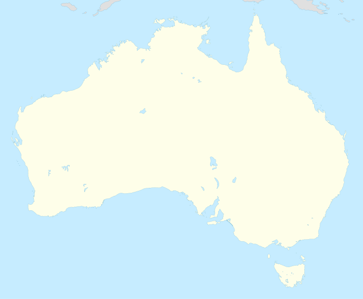
English: High-detail vector outline of Australia. Noting the lack of detail in vector maps of Australia currently available in Commons, I humbly submit this poor hand tracing of File:Australia_satellite_plane.jpg, in the hopes that it may be of use in making more detailed maps.
Date
Source Own work by uploader, based on manually tracing File:Australia_satellite_plane.jpg
Author Perey
Other versions
 
W3C-validity not checked.
 
This W3C-unspecified vector image was created with Inkscape .

Licensing

I, the copyright holder of this work, hereby publish it under the following licenses:
w:en:Creative Commons
attribution share alike
This file is licensed under the Creative Commons Attribution-Share Alike 3.0 Unported license.
You are free:
  • to share – to copy, distribute and transmit the work
  • to remix – to adapt the work
Under the following conditions:
  • attribution – You must give appropriate credit, provide a link to the license, and indicate if changes were made. You may do so in any reasonable manner, but not in any way that suggests the licensor endorses you or your use.
  • share alike – If you remix, transform, or build upon the material, you must distribute your contributions under the same or compatible license as the original.
GNU head Permission is granted to copy, distribute and/or modify this document under the terms of the GNU Free Documentation License, Version 1.2 or any later version published by the Free Software Foundation; with no Invariant Sections, no Front-Cover Texts, and no Back-Cover Texts. A copy of the license is included in the section entitled GNU Free Documentation License.
You may select the license of your choice.

Captions

Add a one-line explanation of what this file represents

Items portrayed in this file

depicts

15 September 2009

image/svg+xml

760ff3d0c47cab9d6384d02719de081ffa6a27ba

756,630 byte

4,320 pixel

5,250 pixel

File history

Click on a date/time to view the file as it appeared at that time.

Date/TimeThumbnailDimensionsUserComment
current19:31, 20 April 2016Thumbnail for version as of 19:31, 20 April 20165,250 × 4,320 (739 KB)PereyOops! <code>title</code> attributes aren't allowed; they should have been <code>title</code> ''elements'' instead. Valid SVG again, now.
19:13, 20 April 2016Thumbnail for version as of 19:13, 20 April 20165,250 × 4,320 (733 KB)PereyHand-edited file to remove excessive Inkscape cruft (inline styles everywhere); added title text (mouseover text) for all islands and land masses; corrected some island names; rationalised element order (Australian islands are clockwise around Tasmania...
20:28, 14 September 2009Thumbnail for version as of 20:28, 14 September 20095,250 × 4,320 (761 KB)PereySome Torres Strait islands were misgrouped.
20:21, 14 September 2009Thumbnail for version as of 20:21, 14 September 20095,250 × 4,320 (761 KB)Perey{{Information |Description={{en|1=High-detail vector outline of Australia. Noting the lack of detail in vector maps of Australia currently available in Commons, I humbly submit this poor hand tracing of File:Australia_satellite_plane.jpg, in the hope

The following page uses this file:

Metadata