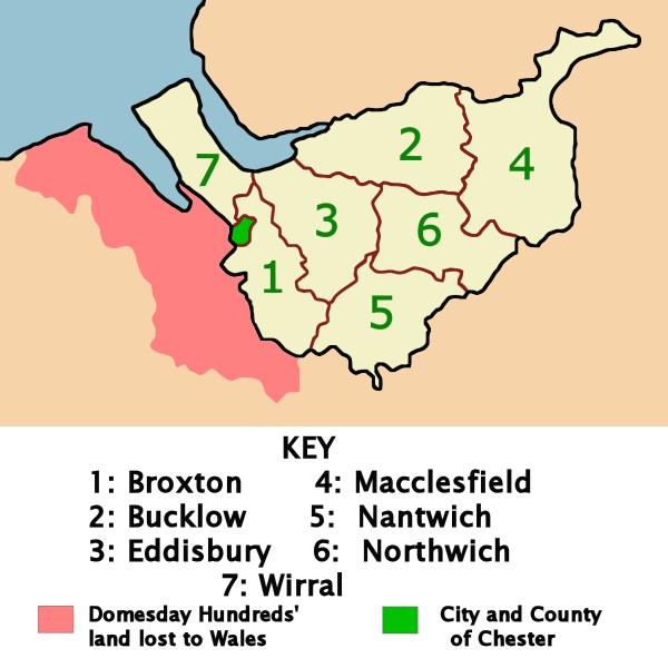
File:Cheshire-Later-Hundreds.svg
Appearance

Size of this PNG preview of this SVG file: 600 × 600 pixels. Other resolutions: 240 × 240 pixels | 480 × 480 pixels | 768 × 768 pixels | 1,024 × 1,024 pixels | 2,048 × 2,048 pixels | 1,166 × 1,166 pixels.
Original file (SVG file, nominally 1,166 × 1,166 pixels, file size: 115 KB)
File history
Click on a date/time to view the file as it appeared at that time.
| Date/Time | Thumbnail | Dimensions | User | Comment | |
|---|---|---|---|---|---|
| current | 00:16, 23 February 2008 |  | 1,166 × 1,166 (115 KB) | Ddstretch | {{Information |Description=Map of the Later Hundreds of Cheshire, UK around 1850. The area of land that was in Cheshire at the time of the Domesday Book, but which was subsequently lost to Wales is shown in red. The city of Chester, which was designated a |
File usage
The following page uses this file:
