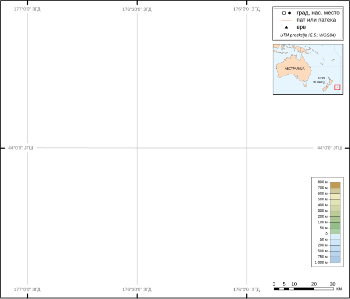
File:Chatham-Islands map topo-mk.svg
Appearance

Size of this PNG preview of this SVG file: 702 × 599 pixels. Other resolutions: 281 × 240 pixels | 562 × 480 pixels | 900 × 768 pixels | 1,199 × 1,024 pixels | 2,399 × 2,048 pixels | 1,669 × 1,425 pixels.
Original file (SVG file, nominally 1,669 × 1,425 pixels, file size: 1.3 MB)
File history
Click on a date/time to view the file as it appeared at that time.
| Date/Time | Thumbnail | Dimensions | User | Comment | |
|---|---|---|---|---|---|
| current | 01:57, 6 November 2011 |  | 1,669 × 1,425 (1.3 MB) | Bjankuloski06en | Improved visibility, legibility, transcription and introducing Macedonian cusrive |
| 10:13, 5 April 2009 |  | 1,669 × 1,425 (814 KB) | Alexrk | Grid | |
| 09:19, 26 October 2008 |  | 1,669 × 1,425 (814 KB) | Bjankuloski06en | == Summary == {{Information |Description={{en|Topographic Map of '''Chatham Islands''' in Macedonian. The archipelago of the Chatham Islands, consists of about 10 islands within a 40-km radius. The islan |
File usage
No pages on the English Wikipedia use this file (pages on other projects are not listed).


