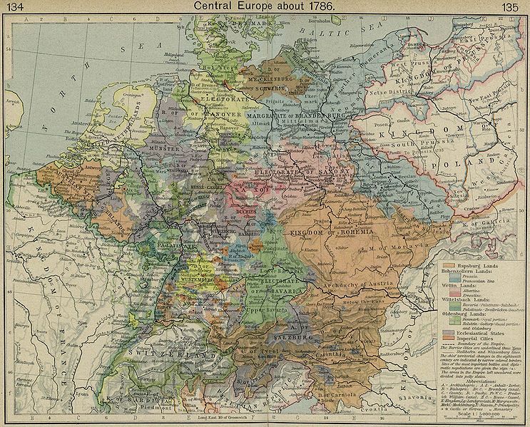
File:Central europe 1786.jpg
Appearance

Size of this preview: 743 × 599 pixels. Other resolutions: 298 × 240 pixels | 595 × 480 pixels | 952 × 768 pixels | 1,269 × 1,024 pixels | 2,319 × 1,871 pixels.
Original file (2,319 × 1,871 pixels, file size: 829 KB, MIME type: image/jpeg)
File history
Click on a date/time to view the file as it appeared at that time.
| Date/Time | Thumbnail | Dimensions | User | Comment | |
|---|---|---|---|---|---|
| current | 03:38, 24 January 2008 |  | 2,319 × 1,871 (829 KB) | Ignacio Icke | {{Information |Description={{en|Map of Central Europe in 1786}} |Source=[http://www.lib.utexas.edu/maps/historical/history_europe.html] |Date=1926 |Author=en:William R. Shepherd |Permission={{PD-old}} |other_versions= }} [[Category:Historical maps o |
File usage
The following page uses this file:
Global file usage
The following other wikis use this file:
- Usage on az.wikipedia.org
- Usage on de.wikipedia.org
- Usage on kk.wikipedia.org
- Usage on ru.wikipedia.org

