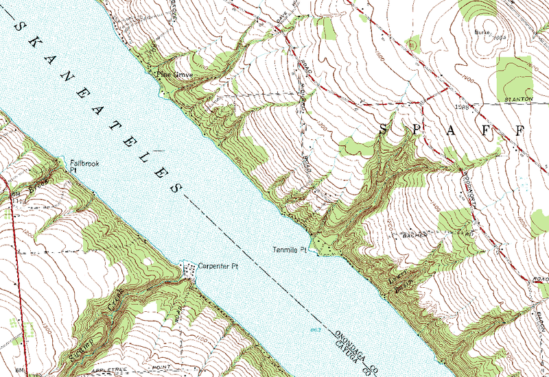
File:Carpenter-Point-Tenmile-Point-Lake-Skaneateles-New York-map.png
Appearance

Size of this preview: 800 × 550 pixels. Other resolutions: 320 × 220 pixels | 640 × 440 pixels | 1,024 × 704 pixels | 1,144 × 786 pixels.
Original file (1,144 × 786 pixels, file size: 236 KB, MIME type: image/png)
File history
Click on a date/time to view the file as it appeared at that time.
| Date/Time | Thumbnail | Dimensions | User | Comment | |
|---|---|---|---|---|---|
| current | 18:24, 3 April 2010 |  | 1,144 × 786 (236 KB) | Bejnar | {{Information |Description={{en|1=Topographic map of a portion of Lake-Skaneateles in New York State, USA, showing Tenmile Point and Carpenter Point.}} |Source=United States Geological Survey, Spafford, N.Y. quadrangle, 1:24,000 scale, N4245 W7615/7.5 |A |
File usage
The following page uses this file:

