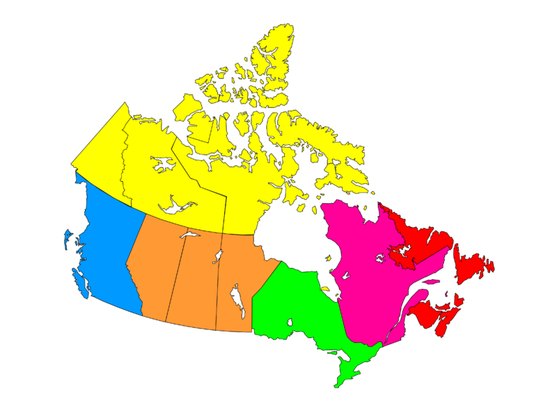
File:Canada provinces Regionl.png
Appearance

Size of this preview: 800 × 599 pixels. Other resolutions: 320 × 240 pixels | 640 × 480 pixels | 1,024 × 767 pixels | 1,280 × 959 pixels | 2,560 × 1,918 pixels | 3,176 × 2,380 pixels.
Original file (3,176 × 2,380 pixels, file size: 787 KB, MIME type: image/png)
File history
Click on a date/time to view the file as it appeared at that time.
| Date/Time | Thumbnail | Dimensions | User | Comment | |
|---|---|---|---|---|---|
| current | 05:48, 6 June 2023 |  | 3,176 × 2,380 (787 KB) | Foxy1219 | Arrange |
| 15:16, 5 January 2013 |  | 294 × 237 (5 KB) | MGA73bot2 | {{BotMoveToCommons|shared.oldwikivoyage|year={{subst:CURRENTYEAR}}|month={{subst:CURRENTMONTHNAME}}|day={{subst:CURRENTDAY}}}} == {{int:filedesc}} == {{Information |description={{en|Map of the Canadian provinces}} {{de|Karte der Provinzen Kanadas}} |da... |
File usage
The following page uses this file:
Global file usage
The following other wikis use this file:
- Usage on zh.wikipedia.org
