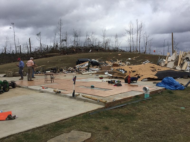
File:CanaanEF4.jpg
Appearance

Size of this preview: 800 × 600 pixels. Other resolutions: 320 × 240 pixels | 640 × 480 pixels | 1,024 × 768 pixels | 1,280 × 960 pixels.
Original file (1,280 × 960 pixels, file size: 891 KB, MIME type: image/jpeg)
File history
Click on a date/time to view the file as it appeared at that time.
| Date/Time | Thumbnail | Dimensions | User | Comment | |
|---|---|---|---|---|---|
| current | 18:29, 28 December 2015 |  | 1,280 × 960 (891 KB) | TornadoInformation12 | {{Information |Description ={{en|1=EF4 damage to a large house near Canaan, MS.}} |Source =http://services.dat.noaa.gov/arcgis/rest/services/DamageAssessmentToolkit/DamageFlexViewer/FeatureServer/0/883571/attachments/539285 |Author =... |
File usage
The following 3 pages use this file:
Global file usage
The following other wikis use this file:
- Usage on de.wikipedia.org

