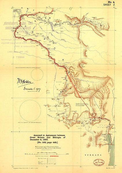
File:Ca000004.jpg
Appearance

Size of this preview: 423 × 599 pixels. Other resolutions: 169 × 240 pixels | 339 × 480 pixels | 542 × 768 pixels | 723 × 1,024 pixels | 2,500 × 3,542 pixels.
Original file (2,500 × 3,542 pixels, file size: 1.82 MB, MIME type: image/jpeg)
File history
Click on a date/time to view the file as it appeared at that time.
| Date/Time | Thumbnail | Dimensions | User | Comment | |
|---|---|---|---|---|---|
| current | 14:03, 13 March 2010 |  | 2,500 × 3,542 (1.82 MB) | Zheim~commonswiki | == Summary == {{Information |Description={{en|1=Map of the frontier between British East Africa Protectorate in Uganda and Abyssinia (1907)}} |Source=Sir E. Hertslet, "The map of Africa by treaty" , 3d ed. London, Printed for H. M. Stationery off., by Har |
File usage
The following page uses this file:
Global file usage
The following other wikis use this file:
- Usage on ar.wikipedia.org
- Usage on ca.wikipedia.org
- Usage on de.wikipedia.org
- Usage on es.wikipedia.org
- Usage on fr.wikipedia.org
- Usage on it.wikipedia.org
- Usage on www.wikidata.org
