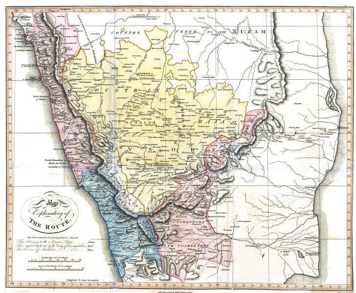
File:Buchanan Journey map.jpg
Appearance

Size of this preview: 728 × 599 pixels. Other resolutions: 292 × 240 pixels | 583 × 480 pixels | 933 × 768 pixels | 1,244 × 1,024 pixels | 2,488 × 2,048 pixels | 5,928 × 4,880 pixels.
Original file (5,928 × 4,880 pixels, file size: 24.93 MB, MIME type: image/jpeg)
File history
Click on a date/time to view the file as it appeared at that time.
| Date/Time | Thumbnail | Dimensions | User | Comment | |
|---|---|---|---|---|---|
| current | 06:00, 2 November 2014 |  | 5,928 × 4,880 (24.93 MB) | Shyamal | {{Information |Description=Map of southern India showing the route taken by Francis Buchanan Hamilton |Source=A Journey from Madras through the Countries of Mysore, Canara and Malabar. Volume 2 |Date=1807 |Author=Francis Buchanan Hamilton |Permission={... |
File usage
The following 5 pages use this file:
Global file usage
The following other wikis use this file:
- Usage on ar.wikipedia.org
- Usage on bn.wikipedia.org
- Usage on it.wikipedia.org
- Usage on ml.wikipedia.org
