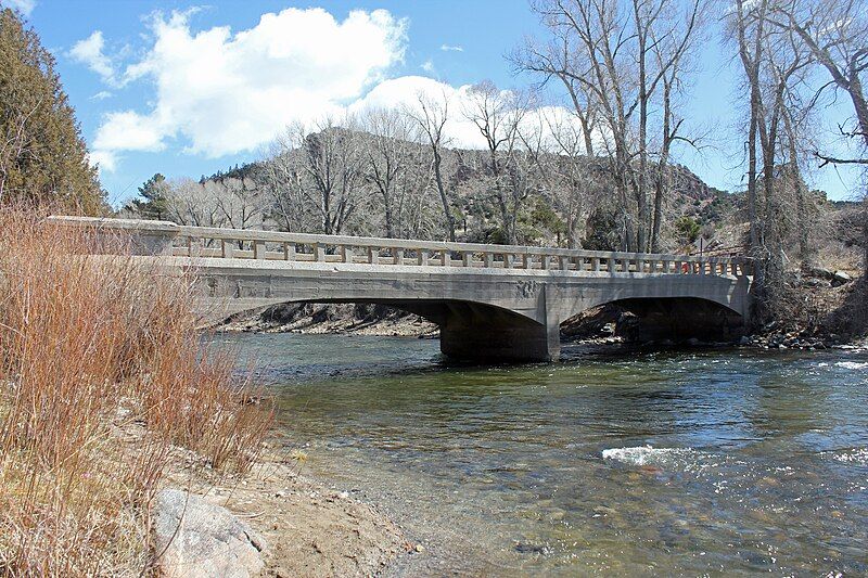
File:Brown's Canyon Bridge.JPG
Appearance

Size of this preview: 800 × 533 pixels. Other resolutions: 320 × 213 pixels | 640 × 427 pixels | 1,024 × 683 pixels | 1,280 × 853 pixels | 2,560 × 1,707 pixels | 5,184 × 3,456 pixels.
Original file (5,184 × 3,456 pixels, file size: 13.58 MB, MIME type: image/jpeg)
File history
Click on a date/time to view the file as it appeared at that time.
| Date/Time | Thumbnail | Dimensions | User | Comment | |
|---|---|---|---|---|---|
| current | 23:57, 30 March 2014 |  | 5,184 × 3,456 (13.58 MB) | Jeffrey Beall | {{Information |Description ={{en|1=The Brown's Canyon Bridge, located on Chaffee County Road 191 over the Arkansas River 6.4 miles north of Salida, Colorado. Known to locals as the Stone Bridge, it was build in 1908 and is now located within the Sta... |
File usage
The following 3 pages use this file:
Global file usage
The following other wikis use this file:
- Usage on www.wikidata.org
