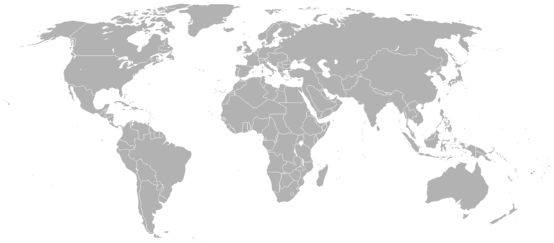
File:BlankMap-World-1912.png
Appearance

Size of this preview: 800 × 351 pixels. Other resolutions: 320 × 140 pixels | 640 × 281 pixels | 1,425 × 625 pixels.
Original file (1,425 × 625 pixels, file size: 37 KB, MIME type: image/png)
File history
Click on a date/time to view the file as it appeared at that time.
| Date/Time | Thumbnail | Dimensions | User | Comment | |
|---|---|---|---|---|---|
| current | 00:25, 16 March 2022 |  | 1,425 × 625 (37 KB) | Randomastwritter | added Jubaland |
| 19:35, 15 March 2022 |  | 1,425 × 625 (37 KB) | Randomastwritter | added dervish state | |
| 13:54, 8 May 2020 |  | 1,425 × 625 (37 KB) | The- | Removed Albania. The rest of the Balkan countries are shown with pre-Balkan War boundaries so it is inconsistent to show Albania as separate. The new Balkan borders were not finalized until 1913, so it makes much more sense to just show pre-Balkan War borders. | |
| 22:47, 6 May 2020 |  | 1,425 × 625 (37 KB) | The- | Best to have a no subdivisions alongside the subdivisions version. Most files derived from blank map are not going to need subdivisions and their inclusion just makes the map less readable. Will upload the subdivisions version as a separate file. | |
| 03:14, 11 October 2017 |  | 1,500 × 740 (99 KB) | Expertseeker90 | Major overhall. Time period correct subdivision boundaries included. | |
| 20:40, 21 June 2008 |  | 1,425 × 625 (29 KB) | Meno25 | {{Information |Description={{en|Map of the world in 1912 en:commons:Category:Blank maps of the world}} |Source=Transferred from [http://en.wikipedia.org en.wikipedia] |Date=2007-11-01 (original upload date) |Author=Original uploader was [[:en:User:R |
File usage
No pages on the English Wikipedia use this file (pages on other projects are not listed).
Global file usage
The following other wikis use this file:
- Usage on ca.wikipedia.org
- Usage on fr.wikipedia.org
- Usage on nl.wikipedia.org


