File:Benjaminville Meeting House Site Map.png
Appearance
Benjaminville_Meeting_House_Site_Map.png (708 × 410 pixels, file size: 30 KB, MIME type: image/png)
File history
Click on a date/time to view the file as it appeared at that time.
| Date/Time | Thumbnail | Dimensions | User | Comment | |
|---|---|---|---|---|---|
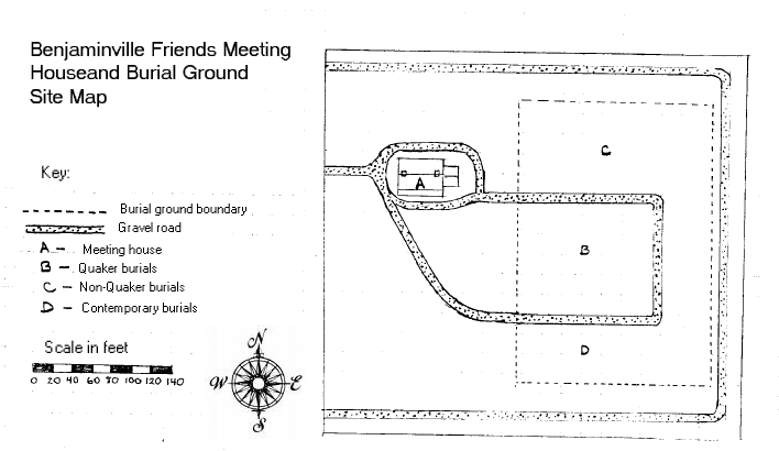
| current | 13:20, 21 June 2007 |  | 708 × 410 (30 KB) | IvoShandor | Description: Site map for Benjaminville Friends Meeting House and Burial Ground near Holder, Illinois, United States. National Register of Historic Places. Date: October 24, 1983 Author: Greg Koos Source: Culled from [http://gis.hpa.state.il.us/hargis/PDF |
File usage
The following 2 pages use this file:


