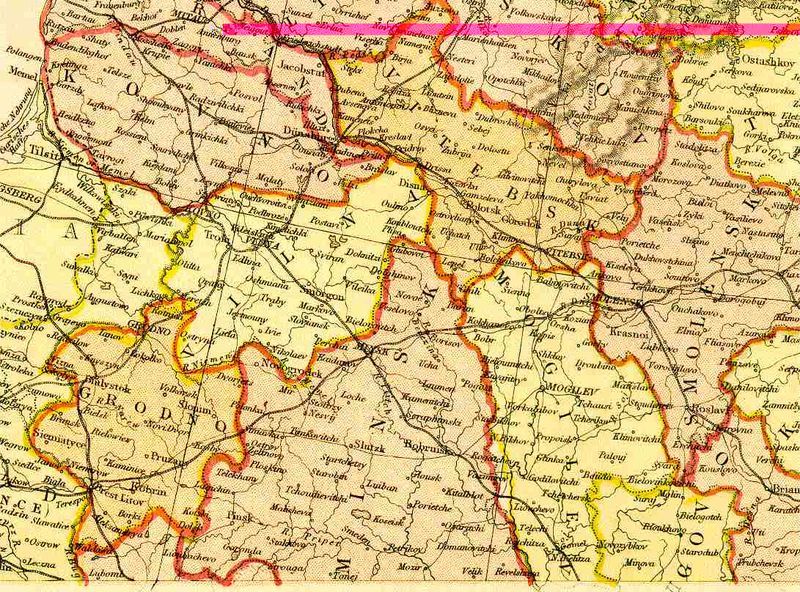
File:Belarus 1882.jpg
Appearance

Size of this preview: 800 × 592 pixels. Other resolutions: 320 × 237 pixels | 640 × 474 pixels | 1,024 × 758 pixels | 1,091 × 808 pixels.
Original file (1,091 × 808 pixels, file size: 150 KB, MIME type: image/jpeg)
File history
Click on a date/time to view the file as it appeared at that time.
| Date/Time | Thumbnail | Dimensions | User | Comment | |
|---|---|---|---|---|---|
| current | 01:08, 24 April 2005 |  | 1,091 × 808 (150 KB) | Ustas~commonswiki | *Description: '''Belarus''' *Source: Scan from Blackie & Sons Atlas (Edinburgh, 1882) *Date: 1892 *Scale: 1:6,100,000 (or one inch = about 96 miles) {{PD-Art}} Category:Historical maps of Russian Empire Category:Historical maps of Belarus |
File usage
The following page uses this file:
Global file usage
The following other wikis use this file:
- Usage on ar.wikipedia.org
- Usage on be.wikipedia.org
- Usage on ca.wikipedia.org
- Usage on cs.wikipedia.org
- Usage on de.wikipedia.org
- Usage on et.wikipedia.org
- Usage on fr.wikipedia.org
- Usage on sr.wikipedia.org
- Usage on sv.wikipedia.org
- Usage on tg.wikipedia.org
- Usage on uk.wikipedia.org
- Usage on www.wikidata.org
