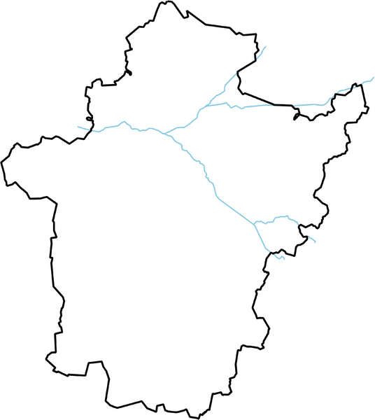
File:Bekes location map.PNG
Appearance

Size of this preview: 536 × 600 pixels. Other resolutions: 214 × 240 pixels | 429 × 480 pixels | 686 × 768 pixels | 915 × 1,024 pixels | 1,830 × 2,048 pixels | 2,916 × 3,264 pixels.
Original file (2,916 × 3,264 pixels, file size: 735 KB, MIME type: image/png)
File history
Click on a date/time to view the file as it appeared at that time.
| Date/Time | Thumbnail | Dimensions | User | Comment | |
|---|---|---|---|---|---|
| current | 07:29, 28 January 2010 |  | 2,916 × 3,264 (735 KB) | Texaner | {{Information |Description={{en|1=Location map of Békés county in Hungary}} {{hu|1=Békés megye vaktérképe}} |Source={{own}} |Author=Texaner |Date=2010-01-28 |Permission= |other_versions= }} Category:Locator maps of Hungary |
File usage
The following 4 pages use this file:
Global file usage
The following other wikis use this file:
- Usage on ar.wikipedia.org
- Usage on ceb.wikipedia.org
- Usage on eo.wikipedia.org
- Usage on fa.wikipedia.org
- Usage on fr.wikipedia.org
- Usage on hu.wikipedia.org
- Csorvás
- Orosháza
- Békés vármegye
- Békéscsaba
- Gyula (Magyarország)
- Battonya
- Dévaványa
- Elek (település)
- Füzesgyarmat
- Gyomaendrőd
- Mezőberény
- Mezőhegyes
- Mezőkovácsháza
- Sarkad
- Szeghalom
- Tótkomlós
- Vésztő
- Murony
- Szarvas (település)
- Lőkösháza
- Kétegyháza
- Almáskamarás
- Békéssámson
- Békésszentandrás
- Biharugra
- Bélmegyer
- Zsadány
- Dombegyház
- Dombiratos
- Kaszaper
- Kevermes
- Kisdombegyház
- Kunágota
- Magyarbánhegyes
- Magyardombegyház
- Medgyesbodzás
- Medgyesegyháza
- Nagybánhegyes
- Nagykamarás
View more global usage of this file.

