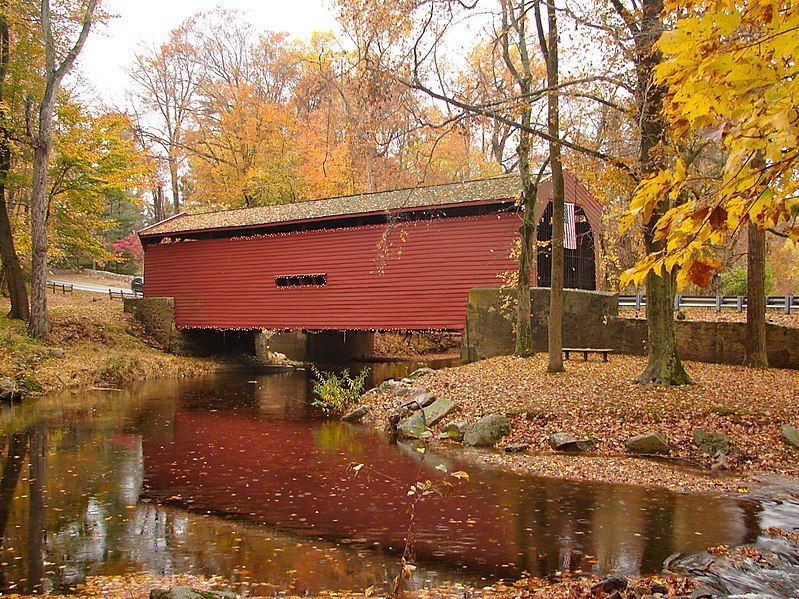
File:Bartrams Bridge NRHP.JPG
Appearance

Size of this preview: 799 × 599 pixels. Other resolutions: 320 × 240 pixels | 640 × 480 pixels | 1,024 × 768 pixels | 1,280 × 960 pixels | 2,349 × 1,762 pixels.
Original file (2,349 × 1,762 pixels, file size: 2.03 MB, MIME type: image/jpeg)
File history
Click on a date/time to view the file as it appeared at that time.
| Date/Time | Thumbnail | Dimensions | User | Comment | |
|---|---|---|---|---|---|
| current | 16:36, 1 November 2010 |  | 2,349 × 1,762 (2.03 MB) | Smallbones | {{Information |Description={{en|1=Bartram's Covered Bridge on the NRHP since December 10, 1980, West of Newtown on Legislative Route 15098 (Boots Road) in Newtown Township, Delaware County, Pennsylvania. Extends over Chester Creek into Willistown Township |
File usage
The following 4 pages use this file:
Global file usage
The following other wikis use this file:
- Usage on ceb.wikipedia.org
- Usage on frr.wikipedia.org
- Usage on www.wikidata.org
