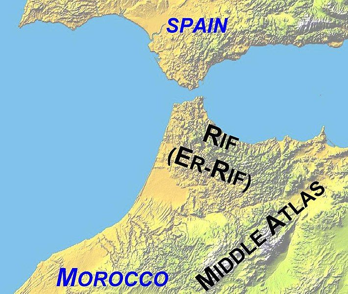
File:Atlas-Mountains-Labeled-2 new.jpg
Appearance

Size of this preview: 710 × 600 pixels. Other resolutions: 284 × 240 pixels | 568 × 480 pixels | 909 × 768 pixels | 1,095 × 925 pixels.
Original file (1,095 × 925 pixels, file size: 260 KB, MIME type: image/jpeg)
File history
Click on a date/time to view the file as it appeared at that time.
| Date/Time | Thumbnail | Dimensions | User | Comment | |
|---|---|---|---|---|---|
| current | 13:00, 9 December 2008 |  | 1,095 × 925 (260 KB) | Jimfbleak | {{Information |Description=Updated Map of North Africa showing Mountains ranges and political boundaries. Made by author - overlayed on "Image:Atlas (Gebirge).png" . Williamborg 05:07, 27 June 2006 (UTC) |Source=*[[:Image:Atlas-Mounta |
File usage
The following page uses this file:
Global file usage
The following other wikis use this file:
- Usage on af.wikipedia.org
- Usage on eo.wikipedia.org
- Usage on fa.wikipedia.org
- Usage on fr.wikipedia.org
- Usage on ta.wikipedia.org
