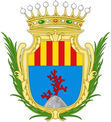
File:Alghero-Stemma.svg
Appearance

Size of this PNG preview of this SVG file: 456 × 500 pixels. Other resolutions: 219 × 240 pixels | 438 × 480 pixels | 700 × 768 pixels | 934 × 1,024 pixels | 1,868 × 2,048 pixels.
Original file (SVG file, nominally 456 × 500 pixels, file size: 764 KB)
File history
Click on a date/time to view the file as it appeared at that time.
| Date/Time | Thumbnail | Dimensions | User | Comment | |
|---|---|---|---|---|---|
| current | 13:58, 7 March 2024 |  | 456 × 500 (764 KB) | S141739 | Uploaded own work with UploadWizard |
File usage
The following 3 pages use this file:
Global file usage
The following other wikis use this file:
- Usage on an.wikipedia.org
- Usage on ar.wikipedia.org
- Usage on arz.wikipedia.org
- Usage on ast.wikipedia.org
- Usage on az.wikipedia.org
- Usage on bg.wikipedia.org
- Usage on ca.wikipedia.org
- Alguerès
- Català
- L'Alguer
- Òmnium Cultural
- Vi de l'Alguer
- Catalan TV
- Centre d'Estudis Algueresos
- Obra Cultural de l'Alguer
- Amatori Rugby Alghero
- Escola de Alguerés Pascual Scanu
- Alguer TV
- Aeroport de l'Alguer
- Anghelu Ruju
- Catedral de l'Alguer
- Jueus algueresos
- Cap de la Caça
- Ísola Foradada
- Punta del Lliri
- Port del Comte (Sardenya)
- Estadi Mariotti
- Poliesportiva l'Alguer
- Diòcesi de l'Alguer-Bosa
- Fertília
- Maristel·la
- Illa Plana (Cap de la Caça)
- Badia de l'Alguer
- Torre del Portitxol
- Vilatge de Palmavera
- Teatre Cívic (l'Alguer)
- Síndics de l'Alguer
- Plantilla:L'Alguer
- Demografia de l'Alguer
- Carrers de l'Alguer
- Santa Maria La Palma
- Torres i baluards de l'Alguer
- Costera del Corall
- Grutes de l'Alguer
- Parc natural regional de Port del Comte
- Estació de l'Alguer-Sant Agustí
- Carretera estatal 127 Septentrional Sarda
- Carretera estatal 291 de la Nurra
- Carretera estatal 291 dir del Càlic
- Àrea natural marina protegida Cap de la Caça-Illa Plana
- Carretera estatal 292 Nord Occidental Sarda
View more global usage of this file.
