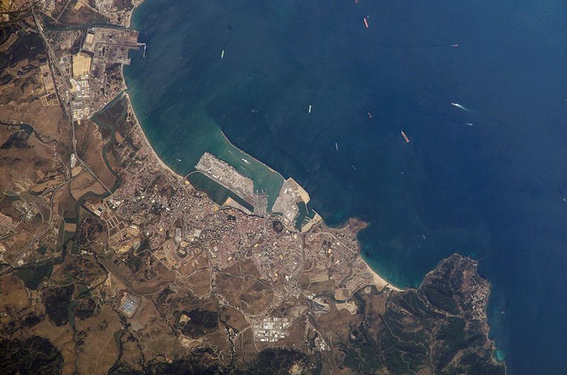
File:Algeciras satelite.jpg
Appearance

Size of this preview: 800 × 530 pixels. Other resolutions: 320 × 212 pixels | 640 × 424 pixels | 1,024 × 678 pixels | 1,280 × 848 pixels | 3,032 × 2,008 pixels.
Original file (3,032 × 2,008 pixels, file size: 1.47 MB, MIME type: image/jpeg)
File history
Click on a date/time to view the file as it appeared at that time.
| Date/Time | Thumbnail | Dimensions | User | Comment | |
|---|---|---|---|---|---|
| current | 23:39, 3 December 2016 |  | 3,032 × 2,008 (1.47 MB) | Ras67 | high resolution |
| 23:10, 10 February 2010 |  | 639 × 422 (200 KB) | Falconaumanni | {{Information |Description={{en|1=Imagen de satélite de la costa de Algeciras, Andalucía, España, desde 393 kilómetros de altura}} |Source=NASA, [http://eol.jsc.nasa.gov/scripts/sseop/QuickView.pl?directory=ESC&ID=ISS005-E-6210] |Author=NASA |Date=28- |
File usage
The following 3 pages use this file:
Global file usage
The following other wikis use this file:
- Usage on ar.wikipedia.org
- Usage on ast.wikipedia.org
- Usage on azb.wikipedia.org
- Usage on ca.wikipedia.org
- Usage on es.wikipedia.org
- Usage on et.wikipedia.org
- Usage on gl.wikipedia.org
- Usage on pl.wiktionary.org
- Usage on pt.wikipedia.org
- Usage on ru.wikipedia.org
- Usage on www.wikidata.org
- Usage on zh.wikipedia.org
