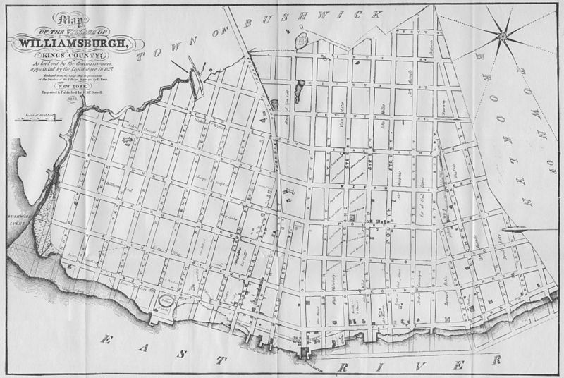
File:1827 Williamsburg Map.jpg
Appearance

Size of this preview: 800 × 536 pixels. Other resolutions: 320 × 214 pixels | 640 × 429 pixels | 1,024 × 686 pixels | 1,280 × 857 pixels | 2,560 × 1,715 pixels | 7,721 × 5,171 pixels.
Original file (7,721 × 5,171 pixels, file size: 24.3 MB, MIME type: image/jpeg)
File history
Click on a date/time to view the file as it appeared at that time.
| Date/Time | Thumbnail | Dimensions | User | Comment | |
|---|---|---|---|---|---|
| current | 15:40, 9 March 2009 |  | 7,721 × 5,171 (24.3 MB) | Repliedthemockturtle | {{Information |Description={{en|1=A Map of the Village of Williamsburg, Kings County, NY, showing each lot of ground in said village, as laid on the assessment maps of the village, together with the new assessment number of each lot. The village is divid |
File usage
The following 3 pages use this file:
Global file usage
The following other wikis use this file:
- Usage on da.wikipedia.org
- Usage on ja.wikipedia.org
